


Before you leave...
Take 20% off your first order
20% off
Enter the code below at checkout to get 20% off your first order
Discover summer reading lists for all ages & interests!
Find Your Next Read
Coordinates are integral building tools for GIS, cartography, surveying and are vital to the many applications we use today such as smart phones, car navigation systems and driverless cars. This book grants readers with a solid understanding of coordinates and coordinate systems and how they operate as well as valuable insight into what causes t
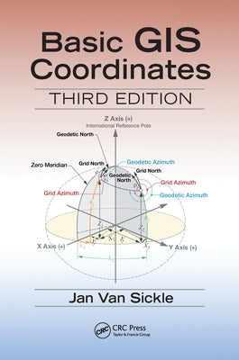
Author: Jan Van Sickle
ISBN-10: 0367573512
ISBN-13: 9780367573515
Publisher: CRC Press
Language: English
Published: 06/30/2020
Pages: 208
Format: Paperback
Weight: 0.66lbs
Size: 9.21h x 6.14w x 0.44d
Jan Van Sickle has many years of experience in GIS, GPS, surveying, mapping, and imagery. He began working with GPS in the early 1980s when he supervised control work using the Macrometer, the first commercial GPS receiver. He created and led the GIS department at Qwest Communications, Denver, Colorado, for the company's 25,000-mile worldwide fiber optic network. He also led the team that built the GIS for natural gas gathering in the Barnett Shale. He has led nationwide seminars based on his three books: GPS for Land Surveyors, Basic GIS Coordinates, and Surveying Solved Problems. He led the team that collected, processed, and reported control positions for more than 120 cities around the world for the ortho-rectification of satellite imagery now utilized in a global web utility. He managed the creation of the worldwide T&E sites for two major earth observation satellites that are used for frequent accuracy assessments. He created an imagery-based system of deriving road centerlines that meet the stringent Advanced Driver Assistance specifications and developed a method of forest inventory to help quantify that depleted resource in Armenia. He assisted the supervision of the first GPS survey of the Grand Canyon for the photogrammetric evaluation of sandbar erosion along the Colorado River. He has performed three-dimensional mapping with terrestrial photogrammetry and LiDAR as well as Building Information Modeling for major buildings in Washington, DC. He was a member of the team of authors for the Geospatial Technology Competency Model for the Department of Labor.
Thanks for subscribing!
This email has been registered!
Take 20% off your first order
Enter the code below at checkout to get 20% off your first order